Survey and Reality Capture
Surveying and reality capture have evolved into a high technology field through the growth of computer, remote sensing and satellite technologies. Our survey and reality capture teams leverage the latest technologies, including laser scanners, Global Positioning System (GPS) and state-of-the-art data collection and mapping modeling software.
Safe, Responsive and Efficient
Registered Surveyors
Licensed Drone Pilots
Average scans per week
Terabytes of raw data captured per year
Survey Specialties:
Click icons to explore
Power
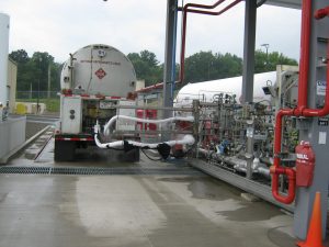
Oil & Gas
Transportation
Land Development
Water
Reality Capture Offerings:
Click icons to explore

3D Laser Scanning

3D Photo-Based Scanning

Aerial Data Capture

High Resolution 360° Videos
Additional Survey Offerings
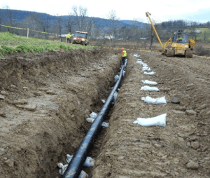
- Pipeline Survey
- Boundary Survey
- Topographic Survey
- Ecological Monitoring
- Aerial Mapping Control
- ALTA/ACSM Survey
- Elevation Certifications
- Minor Subdivisions
- Utility Designation and Location
Additional Reality Capture Offerings
- Floor Flatness Analysis
- Wall Flatness Analysis
- Floor Plan Creation
- Scan to BIM Modeling
- Construction Progress Monitoring
- Slope Monitoring
- Validation of Pre-Fab Equipment Dimensions
- Tank Deformation Analysis
Field to Finish Approach
Borton-Lawson’s unique “Field to Finish” approach ensures the highest levels of quality in our work. The field operators who collect the information are the same staff that perform the plan production, surface modeling, review of design versus staked locations, and other office-related tasks.
This requirement minimizes the opportunity for errors or omissions in construction staking and preparation of survey plans. Our surveyors understand the importance of their work and take every precaution to assure complete staking and mapping accuracy.
Trade Organizations


Service Leaders
Jonathan Chesnick, SIT
Jonathan Chesnick, SIT
Jim Kovalik, PLS
Jim Kovalik, PLS


Patrick McGlynn
Project Manager, Talen Energy